Old Maps
Link to the Kingdom of Ealdormere Group Locator Map. As you will see, this is an interactive and searchable map that will return the Shire/Canton/Barony serving any given location, with links to the Group web page and Seneschal emails. The Group boundary data is derived from previous maps.
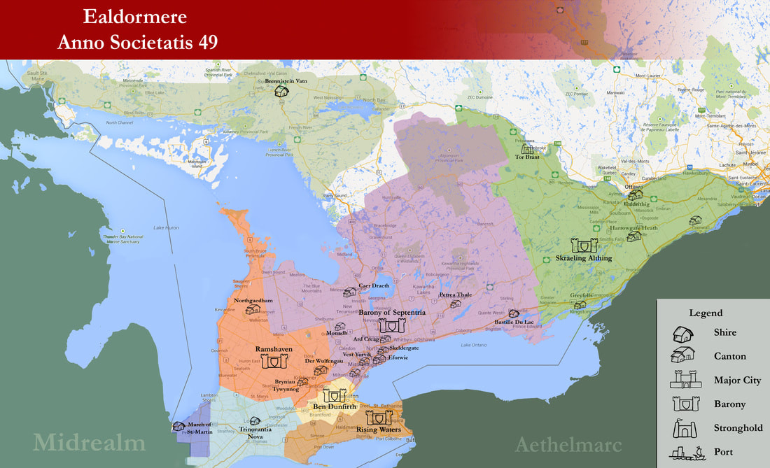
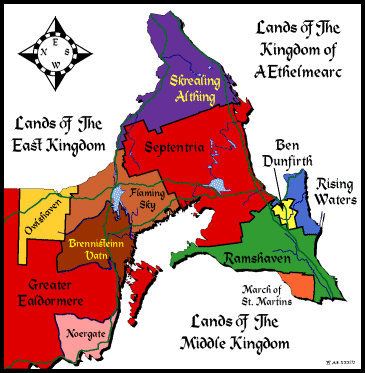
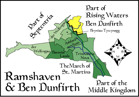
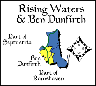
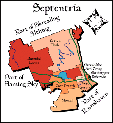
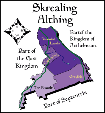
Old Maps of the Kingdom of Ealdormere and it’s Baronies

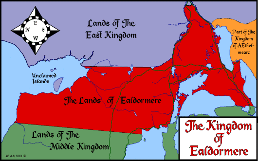
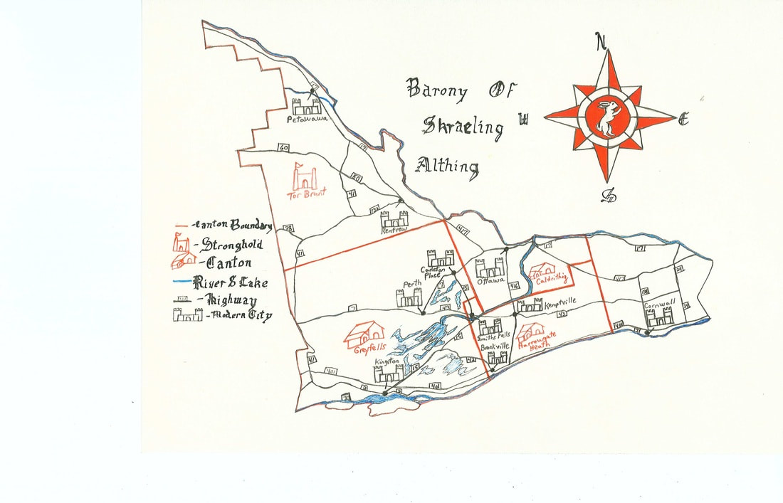
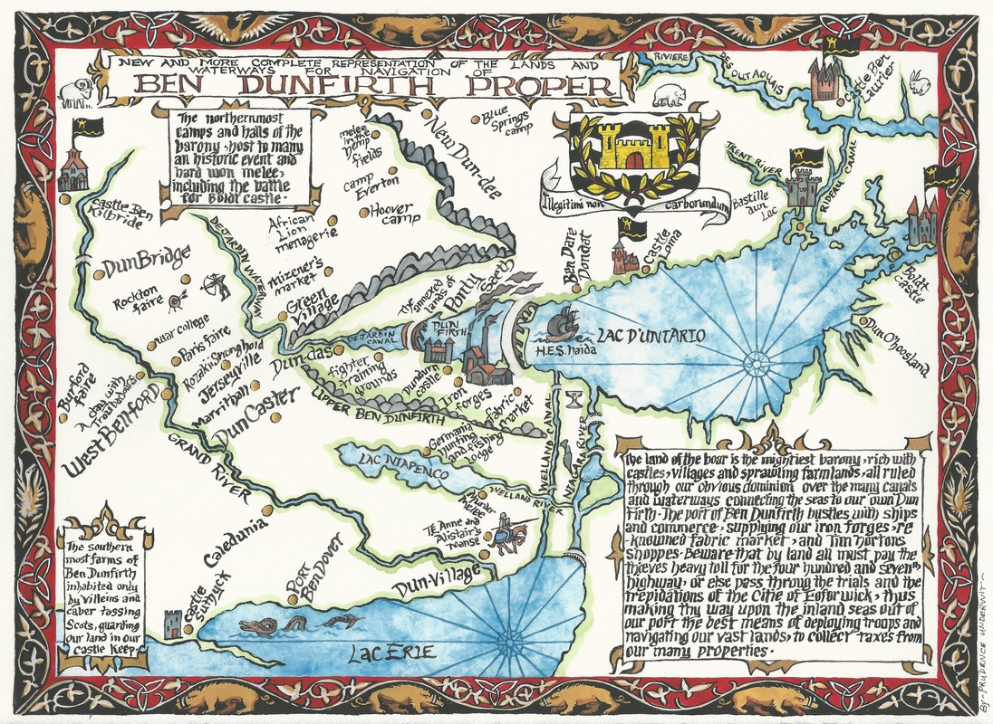
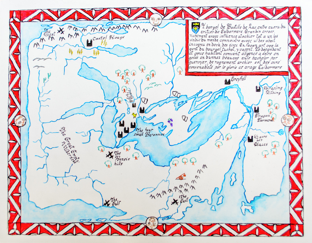
Older and dated maps
Some older, dated maps of Ealdormere. Some borders may have changed and been updated, please consult with your local Seneschal.